Waimarama topographic map
Interactive map
Click on the map to display elevation.
About this map
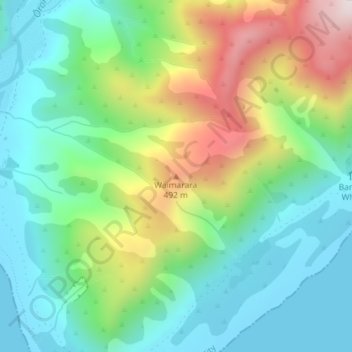
Name: Waimarama topographic map, elevation, terrain.
Location: Waimarama, Lower Hutt City, Wellington, New Zealand (-41.41840 174.92552 -41.41830 174.92562)
Average elevation: 213 m
Minimum elevation: 0 m
Maximum elevation: 661 m
Other topographic maps
Click on a map to view its topography, its elevation and its terrain.
Lower Hutt
New Zealand > Wellington > Lower Hutt City
Lower Hutt, Lower Hutt City, Wellington, 5040, New Zealand
Average elevation: 173 m
Wainuiomata River
New Zealand > Wellington > Lower Hutt City
Wainuiomata River, Lower Hutt City, Wellington, New Zealand
Average elevation: 181 m
Hutt Valley
New Zealand > Wellington > Lower Hutt City > Lower Hutt
Hutt Valley, Lower Hutt, Lower Hutt City, Wellington, New Zealand
Average elevation: 212 m
Ōrongorongo River
New Zealand > Wellington > Lower Hutt City
Ōrongorongo River, Lower Hutt City, Wellington, New Zealand
Average elevation: 237 m