
Thank you for supporting this site ❤️
Make a donation
Make a donation
Shelley topographic map
Click on the map to display elevation.
Thank you for supporting this site ❤️
Make a donation
Make a donation
About this map
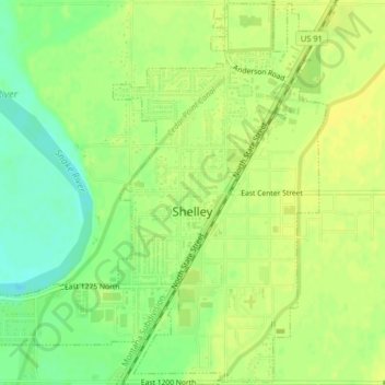
Name: Shelley topographic map, elevation, terrain.
Location: Shelley, Bingham County, Idaho, United States (43.36689 -112.15313 43.39588 -112.11269)
Average elevation: 1,411 m
Minimum elevation: 1,397 m
Maximum elevation: 1,418 m
Thank you for supporting this site ❤️
Make a donation
Make a donation