
Matahi topographic map
Click on the map to display elevation.
About this map
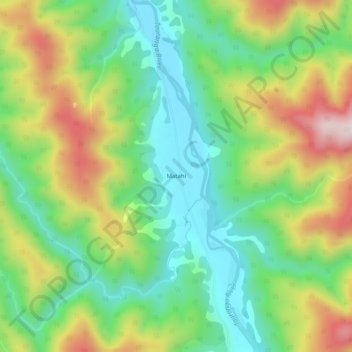
Name: Matahi topographic map, elevation, terrain.
Location: Matahi, Whakatane District, Bay of Plenty, New Zealand (-38.27394 177.08959 -38.23394 177.12959)
Average elevation: 275 m
Minimum elevation: 86 m
Maximum elevation: 584 m
Whakatane District trails, hiking, mountain biking, running and outdoor activities