
Thank you for supporting this site ❤️
Make a donation
Make a donation
Geneva topographic map
Click on the map to display elevation.
Thank you for supporting this site ❤️
Make a donation
Make a donation
About this map
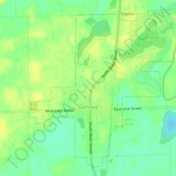
Name: Geneva topographic map, elevation, terrain.
Location: Geneva, Adams County, Indiana, United States (40.58320 -84.97327 40.60743 -84.94004)
Average elevation: 258 m
Minimum elevation: 245 m
Maximum elevation: 268 m
Thank you for supporting this site ❤️
Make a donation
Make a donation