
Thank you for supporting this site ❤️
Make a donation
Make a donation
Tagburos topographic map
Click on the map to display elevation.
Thank you for supporting this site ❤️
Make a donation
Make a donation
About this map
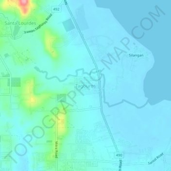
Name: Tagburos topographic map, elevation, terrain.
Location: Tagburos, Puerto Princesa, Mimaropa, Philippines (9.79985 118.72097 9.83985 118.76097)
Average elevation: 16 m
Minimum elevation: -2 m
Maximum elevation: 127 m
Thank you for supporting this site ❤️
Make a donation
Make a donation
Other topographic maps
Click on a map to view its topography, its elevation and its terrain.