
Casale topographic map
Interactive map
Click on the map to display elevation.
About this map
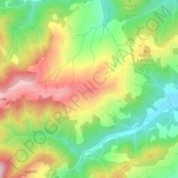
Name: Casale topographic map, elevation, terrain.
Location: Casale, Anghiari, Arezzo, Toscane, Italië (43.51191 11.99232 43.53191 12.01232)
Average elevation: 498 m
Minimum elevation: 356 m
Maximum elevation: 669 m
Other topographic maps
Click on a map to view its topography, its elevation and its terrain.