
Nettleton topographic map
Interactive map
Click on the map to display elevation.
About this map
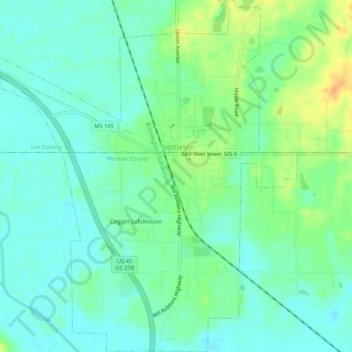
Name: Nettleton topographic map, elevation, terrain.
Location: Nettleton, Monroe County, Mississippi, USA (34.06457 -88.64917 34.10788 -88.60466)
Average elevation: 75 m
Minimum elevation: 63 m
Maximum elevation: 98 m