
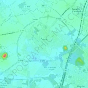
Carvin topographic map
Interactive map
Click on the map to display elevation.
About this map
Name: Carvin topographic map, elevation, terrain.
Average elevation: 29 m
Minimum elevation: 18 m
Maximum elevation: 102 m
La superficie de la commune est de 2 103 hectares ; l'altitude varie entre 17 et 42 mètres.