
Thank you for supporting this site ❤️
Make a donation
Make a donation
Winchester topographic map
Click on the map to display elevation.
Thank you for supporting this site ❤️
Make a donation
Make a donation
About this map
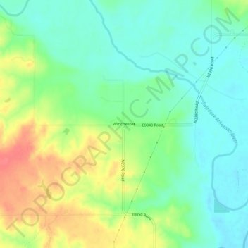
Name: Winchester topographic map, elevation, terrain.
Location: Winchester, Woods County, Oklahoma, United States (36.93725 -98.81731 36.97725 -98.77731)
Average elevation: 451 m
Minimum elevation: 428 m
Maximum elevation: 490 m
Thank you for supporting this site ❤️
Make a donation
Make a donation