
Tukino Peak topographic map
Interactive map
Click on the map to display elevation.
About this map
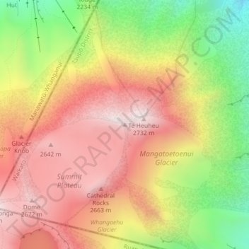
Name: Tukino Peak topographic map, elevation, terrain.
Location: Tukino Peak, Taupō District, Waikato, New Zealand (-39.26706 175.57621 -39.26696 175.57631)
Average elevation: 2,343 m
Minimum elevation: 1,877 m
Maximum elevation: 2,703 m
Taupo District trails, hiking, mountain biking, running and outdoor activities
Other topographic maps
Click on a map to view its topography, its elevation and its terrain.