
Thank you for supporting this site ❤️
Make a donation
Make a donation
Brabant topographic map
Click on the map to display elevation.
Thank you for supporting this site ❤️
Make a donation
Make a donation
About this map
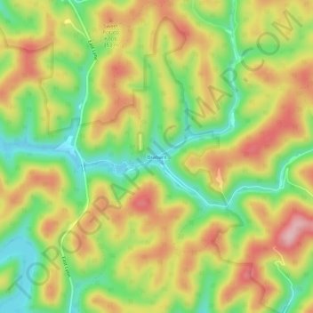
Name: Brabant topographic map, elevation, terrain.
Location: Brabant, Wayne County, West Virginia, United States (38.09537 -82.33737 38.13537 -82.29737)
Average elevation: 291 m
Minimum elevation: 198 m
Maximum elevation: 387 m
Thank you for supporting this site ❤️
Make a donation
Make a donation