
Cagwait topographic map
Click on the map to display elevation.
About this map
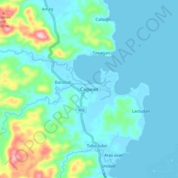
Name: Cagwait topographic map, elevation, terrain.
Location: Cagwait, Surigao del Sur, Caraga, 8304, Philippines (8.87827 126.25825 8.95827 126.33825)
Average elevation: 44 m
Minimum elevation: -3 m
Maximum elevation: 256 m
Other topographic maps
Click on a map to view its topography, its elevation and its terrain.