
Manteca topographic map
Interactive map
Click on the map to display elevation.
About this map
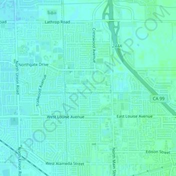
Name: Manteca topographic map, elevation, terrain.
Location: Manteca, San Joaquin County, California, United States (37.75260 -121.29298 37.84098 -121.16068)
Average elevation: 12 m
Minimum elevation: 2 m
Maximum elevation: 20 m