
Makinen topographic map
Interactive map
Click on the map to display elevation.
About this map
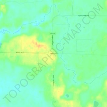
Name: Makinen topographic map, elevation, terrain.
Location: Makinen, Saint Louis County, Minnesota, United States (47.33715 -92.38768 47.37715 -92.34768)
Average elevation: 420 m
Minimum elevation: 408 m
Maximum elevation: 438 m