
Mülheim an der Ruhr topographic map
Interactive map
Click on the map to display elevation.
About this map
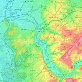
Name: Mülheim an der Ruhr topographic map, elevation, terrain.
Location: Mülheim an der Ruhr, North Rhine-Westphalia, Germany (51.35074 6.80667 51.47145 6.95954)
Average elevation: 70 m
Minimum elevation: 24 m
Maximum elevation: 169 m