
Estuario de Virrilá topographic map
Interactive map
Click on the map to display elevation.
About this map
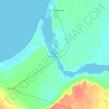
Name: Estuario de Virrilá topographic map, elevation, terrain.
Location: Estuario de Virrilá, Sechura, Piura, Perú (-5.90509 -80.87508 -5.75974 -80.70351)
Average elevation: 13 m
Minimum elevation: -5 m
Maximum elevation: 68 m
Other topographic maps
Click on a map to view its topography, its elevation and its terrain.