
Village of Haverstraw topographic map
Interactive map
Click on the map to display elevation.
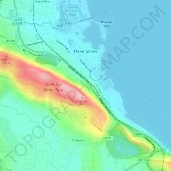
Village of Haverstraw topographic map, elevation, terrain
Village of Haverstraw
September 2004 marked the village's 150th anniversary, celebrated by a festival along the village's waterfront. The village has entered a period of revitalization, which coincides with the creation of the Harbors at Haverstraw Community and a sculpture trail which will follow the Hudson River shoreline. The Harbors at Haverstraw is situated on the southern end of the Village and below the higher elevations of the charming riverside southernmost neighborhood known as Dutchtown. Some residents have taken to calling the Harbors area the "South End" instead of the previous name for the neighborhood the "mud hole" in honor of various clay pits once visible here. The State has funded $3 million to the revitalization project, which includes investments on the waterfront esplanade and a possible downtown streetscape project.
About this map
Name: Village of Haverstraw topographic map, elevation, terrain.
Average elevation: 44 m
Minimum elevation: 0 m
Maximum elevation: 220 m