
Zijin County topographic map
Interactive map
Click on the map to display elevation.
About this map
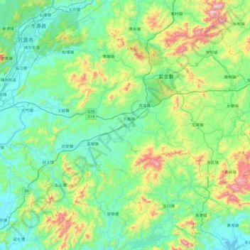
Name: Zijin County topographic map, elevation, terrain.
Location: Zijin County, Heyuan, Guangdong Province, China (23.16718 114.62669 23.78069 115.49347)
Average elevation: 259 m
Minimum elevation: 12 m
Maximum elevation: 1,245 m
Other topographic maps
Click on a map to view its topography, its elevation and its terrain.
Longjie
China > Guangdong Province > Heyuan > Longjie
Longjie, Heyuan, Guangdong Province, China
Average elevation: 185 m