
Spreeau topographic map
Interactive map
Click on the map to display elevation.
About this map
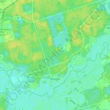
Name: Spreeau topographic map, elevation, terrain.
Location: Spreeau, Grünheide (Mark), Oder-Spree, Brandenburg, Germany (52.35618 13.78275 52.39592 13.86768)
Average elevation: 39 m
Minimum elevation: 32 m
Maximum elevation: 49 m
Other topographic maps
Click on a map to view its topography, its elevation and its terrain.