
Warren County topographic map
Interactive map
Click on the map to display elevation.
About this map
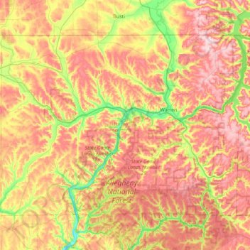
Name: Warren County topographic map, elevation, terrain.
Location: Warren County, Pennsylvania, United States of America (41.62386 -79.61293 41.99972 -78.91567)
Average elevation: 500 m
Minimum elevation: 321 m
Maximum elevation: 684 m
Other topographic maps
Click on a map to view its topography, its elevation and its terrain.
South Mountain Park
United States of America > Pennsylvania > Lower Saucon Township > Star Village
Average elevation: 169 m
Clover Hill
United States of America > Pennsylvania > West Pike Run Township > Clover Hill
Average elevation: 347 m