
Casay topographic map
Interactive map
Click on the map to display elevation.
About this map
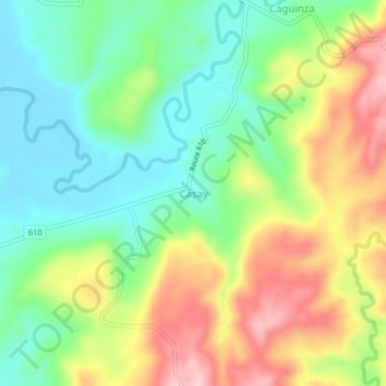
Name: Casay topographic map, elevation, terrain.
Location: Casay, Quezon, Calabarzon, Philippines (13.27116 122.52669 13.31116 122.56669)
Average elevation: 86 m
Minimum elevation: 2 m
Maximum elevation: 210 m
Other topographic maps
Click on a map to view its topography, its elevation and its terrain.
Sariaya
Sariaya is situated on a flat land except for a portion on the north occupying a part of the foot of Mount Banahaw. The municipality has the highest point of elevation on 3,800 feet (1,200 m) above sea level at Barangays Concepcion Banahaw and Sampaloc Bogon.
Average elevation: 118 m
Sariaya
Sariaya is situated on a flat land except for a portion on the north occupying a part of the foot of Mount Banahaw. The municipality has the highest point of elevation on 3,800 feet above sea level at Barangays Concepcion Banahaw and Sampaloc Bogon.
Average elevation: 118 m