
Provincia de Chincheros topographic map
Interactive map
Click on the map to display elevation.
About this map
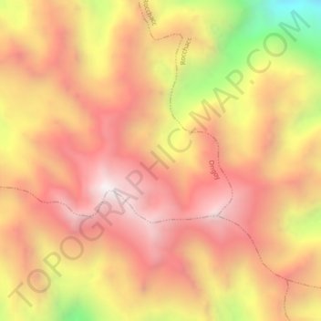
Name: Provincia de Chincheros topographic map, elevation, terrain.
Location: Provincia de Chincheros, Ongoy, Chincheros, Apurímac, Perú (-13.50294 -73.67367 -13.46294 -73.63367)
Average elevation: 4,212 m
Minimum elevation: 3,315 m
Maximum elevation: 4,728 m