
Lustenauer Kanal topographic map
Interactive map
Click on the map to display elevation.
About this map
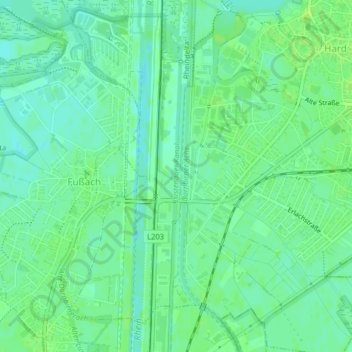
Name: Lustenauer Kanal topographic map, elevation, terrain.
Location: Lustenauer Kanal, Hard, Bregenz, Vorarlberg, 6972, Österreich (47.46950 9.67297 47.48967 9.67511)
Average elevation: 399 m
Minimum elevation: 393 m
Maximum elevation: 404 m