
Thank you for supporting this site ❤️
Make a donation
Make a donation
Cherokee topographic map
Click on the map to display elevation.
Thank you for supporting this site ❤️
Make a donation
Make a donation
About this map
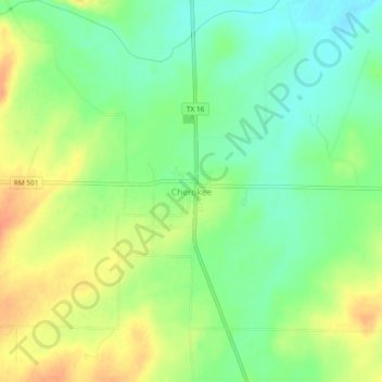
Name: Cherokee topographic map, elevation, terrain.
Location: Cherokee, San Saba County, Texas, 76832, United States (30.96094 -98.72884 31.00094 -98.68884)
Average elevation: 460 m
Minimum elevation: 440 m
Maximum elevation: 484 m
Thank you for supporting this site ❤️
Make a donation
Make a donation