
Thank you for supporting this site ❤️
Make a donation
Make a donation
Samal Island topographic map
Click on the map to display elevation.
Thank you for supporting this site ❤️
Make a donation
Make a donation
About this map
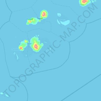
Name: Samal Island topographic map, elevation, terrain.
Location: Samal Island, Siasi, Sulu, Bangsamoro, Philippines (5.18000 120.63000 5.82000 121.27000)
Average elevation: 3 m
Minimum elevation: -1 m
Maximum elevation: 468 m
Thank you for supporting this site ❤️
Make a donation
Make a donation