
Gitanagar topographic map
Interactive map
Click on the map to display elevation.
About this map
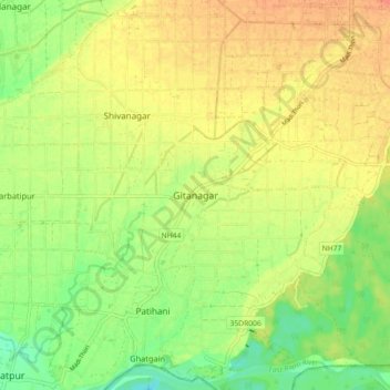
Name: Gitanagar topographic map, elevation, terrain.
Location: Gitanagar, भरतपुर, चितवन, Bagmati, 44211, Népal (27.56412 84.33185 27.64412 84.41185)
Average elevation: 185 m
Minimum elevation: 163 m
Maximum elevation: 201 m