
Thank you for supporting this site ❤️
Make a donation
Make a donation
Atwater topographic map
Click on the map to display elevation.
Thank you for supporting this site ❤️
Make a donation
Make a donation
About this map
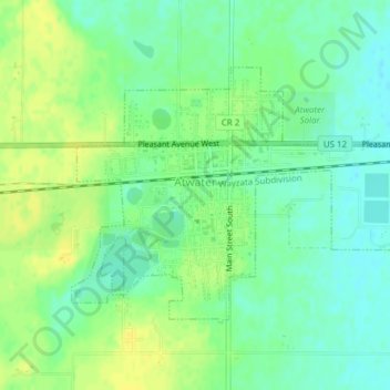
Name: Atwater topographic map, elevation, terrain.
Location: Atwater, Kandiyohi County, Minnesota, United States (45.12658 -94.79316 45.14428 -94.75719)
Average elevation: 372 m
Minimum elevation: 362 m
Maximum elevation: 383 m
Thank you for supporting this site ❤️
Make a donation
Make a donation