
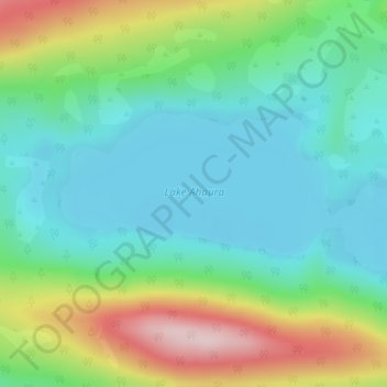
Lake Ahaura topographic map
Interactive map
Click on the map to display elevation.
About this map
Name: Lake Ahaura topographic map, elevation, terrain.
Average elevation: 337 m
Minimum elevation: 246 m
Maximum elevation: 548 m
Other topographic maps
Click on a map to view its topography, its elevation and its terrain.
Lake Haupiri
New Zealand > Gloriavale Christian Community
Lake Haupiri, Haupiri Road, Gloriavale Christian Community, Grey District, West Coast, New Zealand
Average elevation: 223 m