
Thank you for supporting this site ❤️
Make a donation
Make a donation
Alcántara topographic map
Click on the map to display elevation.
Thank you for supporting this site ❤️
Make a donation
Make a donation
About this map
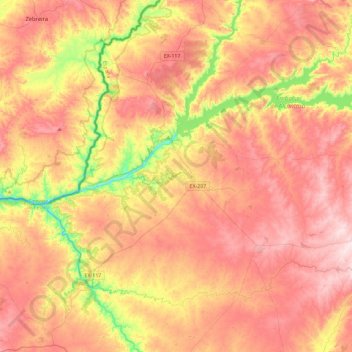
Name: Alcántara topographic map, elevation, terrain.
Location: Alcántara, Tajo-Salor, Cáceres, Extremadura, 10980, Spain (39.51328 -7.06498 39.85869 -6.60239)
Average elevation: 312 m
Minimum elevation: 114 m
Maximum elevation: 458 m
Thank you for supporting this site ❤️
Make a donation
Make a donation