
Thank you for supporting this site ❤️
Make a donation
Make a donation
Waldenburg topographic map
Click on the map to display elevation.
Thank you for supporting this site ❤️
Make a donation
Make a donation
About this map
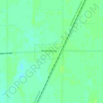
Name: Waldenburg topographic map, elevation, terrain.
Location: Waldenburg, Poinsett County, Arkansas, 72475, United States (35.56322 -90.93916 35.56728 -90.92989)
Average elevation: 73 m
Minimum elevation: 67 m
Maximum elevation: 77 m
Thank you for supporting this site ❤️
Make a donation
Make a donation
Other topographic maps
Click on a map to view its topography, its elevation and its terrain.