
Conel topographic map
Interactive map
Click on the map to display elevation.
About this map
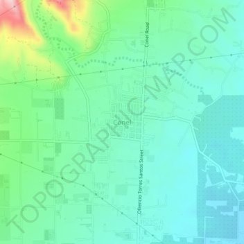
Name: Conel topographic map, elevation, terrain.
Location: Conel, General Santos, Soccsksargen, Philippines (6.18151 125.16781 6.22151 125.20781)
Average elevation: 105 m
Minimum elevation: 52 m
Maximum elevation: 282 m