
Kapeeka topographic map
Interactive map
Click on the map to display elevation.
About this map
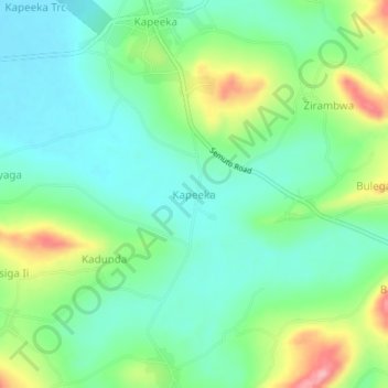
Name: Kapeeka topographic map, elevation, terrain.
Location: Kapeeka, Nakaseke, Central Region, Uganda (0.64363 32.23092 0.68363 32.27092)
Average elevation: 1,137 m
Minimum elevation: 1,091 m
Maximum elevation: 1,239 m