
Waikouaiti topographic map
Interactive map
Click on the map to display elevation.
About this map
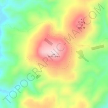
Name: Waikouaiti topographic map, elevation, terrain.
Location: Waikouaiti, Dunedin City, Otago, New Zealand (-45.60021 170.47155 -45.60011 170.47165)
Average elevation: 448 m
Minimum elevation: 268 m
Maximum elevation: 662 m
Dunedin City trails, hiking, mountain biking, running and outdoor activities
Other topographic maps
Click on a map to view its topography, its elevation and its terrain.