
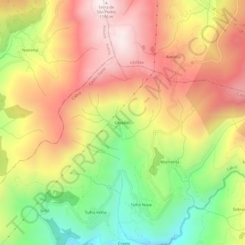
Levadas topographic map
Interactive map
Click on the map to display elevation.
About this map
Name: Levadas topographic map, elevation, terrain.
Location: Levadas, Cabril, Castro Daire, Viseu, Portugal (40.95667 -8.10750 40.99667 -8.06750)
Average elevation: 813 m
Minimum elevation: 398 m
Maximum elevation: 1,180 m