Geolocate

Kwajalein topographic map

Interactive map

Click on the map to display elevation.

About this map

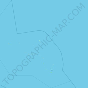
Name: Kwajalein topographic map, elevation, terrain.

Location: Kwajalein, Marshall Islands (8.40445 166.31378 10.24169 168.13598)

Average elevation: 0 m

Minimum elevation: 0 m

Maximum elevation: 18 m

Other topographic maps

Click on a map to view its topography, its elevation and its terrain.

Arno

Marshall Islands

Average elevation: 0 m

Ailinglaplap

Marshall Islands

Average elevation: 0 m

Majuro

Marshall Islands > Majuro

At the western end of the atoll, about 50 kilometres (30 mi) from Delap-Uliga-Djarrit (DUD) by road, is the island community of Laura, an expanding residential area with a popular beach. Laura has the highest elevation point on the atoll, estimated at less than 3 metres (10 feet) above sea level. Djarrit is…

Average elevation: 0 m

Kwajalein Atoll

Marshall Islands

Average elevation: 0 m

Wotho

Marshall Islands

Average elevation: 0 m

Wotho Atoll

Marshall Islands > Wotho

Average elevation: 0 m

Bikini Atoll

Marshall Islands > Bikini

There are 23 islands in the Bikini Atoll; the islands of Bokonijien, Aerokojlol, and Namu were vaporized during the nuclear tests. The islands are composed of low coral limestone and sand. The average elevation is only about 7 feet (2.1 m) above low tide level. The total lagoon area is 229.4-square-mile (594.1…

Average elevation: 0 m