
Erua topographic map
Interactive map
Click on the map to display elevation.
About this map
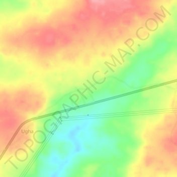
Name: Erua topographic map, elevation, terrain.
Location: Erua, Uhunmwonde, Edo State, Nigeria (6.55654 5.88811 6.59654 5.92811)
Average elevation: 170 m
Minimum elevation: 113 m
Maximum elevation: 216 m