
Thank you for supporting this site ❤️
Make a donation
Make a donation
Gooimeer topographic map
Click on the map to display elevation.
Thank you for supporting this site ❤️
Make a donation
Make a donation
About this map
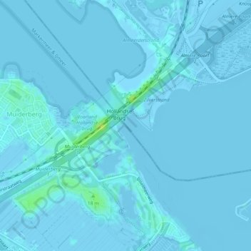
Name: Gooimeer topographic map, elevation, terrain.
Location: Gooimeer, Almere, Flevoland, Nederland, 1411DL, Nederland (52.32324 5.13982 52.32586 5.14207)
Average elevation: 0 m
Minimum elevation: -6 m
Maximum elevation: 14 m
Thank you for supporting this site ❤️
Make a donation
Make a donation