
Thank you for supporting this site ❤️
Make a donation
Make a donation
Palpa topographic map
Click on the map to display elevation.
Thank you for supporting this site ❤️
Make a donation
Make a donation
About this map
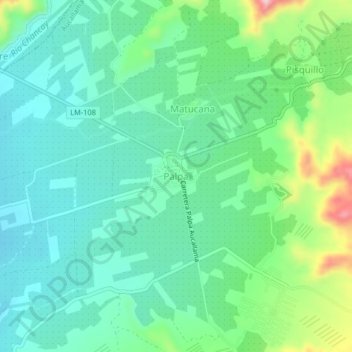
Name: Palpa topographic map, elevation, terrain.
Location: Palpa, Aucallama, Huaral, Lima, Perú (-11.50886 -77.14052 -11.46886 -77.10052)
Average elevation: 331 m
Minimum elevation: 272 m
Maximum elevation: 495 m
Thank you for supporting this site ❤️
Make a donation
Make a donation