
Thank you for supporting this site ❤️
Make a donation
Make a donation
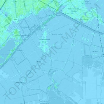
Zoeterwoude topographic map
Click on the map to display elevation.
Thank you for supporting this site ❤️
Make a donation
Make a donation
Zoeterwoude
Dutch topographic map of Zoeterwoude, Sept. 2014. Click to enlarge.
Thank you for supporting this site ❤️
Make a donation
Make a donation
About this map
Name: Zoeterwoude topographic map, elevation, terrain.
Location: Zoeterwoude, South Holland, Netherlands (52.08051 4.47083 52.14741 4.55073)
Average elevation: -1 m
Minimum elevation: -9 m
Maximum elevation: 6 m
Thank you for supporting this site ❤️
Make a donation
Make a donation
Other topographic maps
Click on a map to view its topography, its elevation and its terrain.