
L'Andria topographic map
Interactive map
Click on the map to display elevation.
About this map
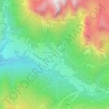
Name: L'Andria topographic map, elevation, terrain.
Location: L'Andria, Belluno, Veneto, 2020, Italië (46.42887 12.03714 46.46887 12.07714)
Average elevation: 1,708 m
Minimum elevation: 1,161 m
Maximum elevation: 2,636 m