
Thank you for supporting this site ❤️
Make a donation
Make a donation
Cocotitlán topographic map
Click on the map to display elevation.
Thank you for supporting this site ❤️
Make a donation
Make a donation
About this map
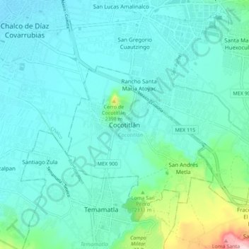
Name: Cocotitlán topographic map, elevation, terrain.
Location: Cocotitlán, Estado de México, 56680, México (19.19083 -98.90186 19.27083 -98.82186)
Average elevation: 2,278 m
Minimum elevation: 2,231 m
Maximum elevation: 2,529 m
Thank you for supporting this site ❤️
Make a donation
Make a donation