Quge River topographic map
Interactive map
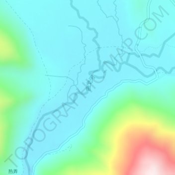
Click on the map to display elevation.
About this map
Name: Quge River topographic map, elevation, terrain.
Average elevation: 4,159 m
Minimum elevation: 4,051 m
Maximum elevation: 4,603 m

Click on the map to display elevation.
Name: Quge River topographic map, elevation, terrain.
Average elevation: 4,159 m
Minimum elevation: 4,051 m
Maximum elevation: 4,603 m