
Chijipina Grande topographic map
Interactive map
Click on the map to display elevation.
About this map
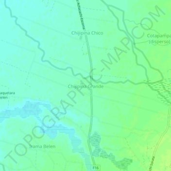
Name: Chijipina Grande topographic map, elevation, terrain.
Location: Chijipina Grande, Provincia Omasuyos, LPZ, Bolivia (-16.01600 -68.71468 -15.97600 -68.67468)
Average elevation: 3,820 m
Minimum elevation: 3,814 m
Maximum elevation: 3,826 m