
Weston topographic map
Interactive map
Click on the map to display elevation.
About this map
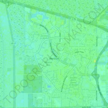
Name: Weston topographic map, elevation, terrain.
Location: Weston, Broward County, Florida, USA (26.06144 -80.45000 26.14602 -80.36190)
Average elevation: 5 m
Minimum elevation: -2 m
Maximum elevation: 11 m