
Fuller Lake topographic map
Interactive map
Click on the map to display elevation.
About this map
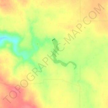
Name: Fuller Lake topographic map, elevation, terrain.
Location: Fuller Lake, Sully County, South Dakota, United States (44.79648 -100.41539 44.80417 -100.40678)
Average elevation: 543 m
Minimum elevation: 502 m
Maximum elevation: 569 m