
Thank you for supporting this site ❤️
Make a donation
Make a donation
Sams Gap topographic map
Click on the map to display elevation.
Thank you for supporting this site ❤️
Make a donation
Make a donation
About this map
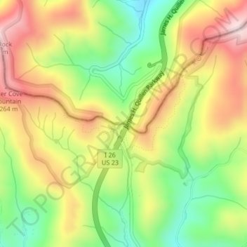
Name: Sams Gap topographic map, elevation, terrain.
Location: Sams Gap, Madison County, North Carolina, United States (35.95484 -82.56083 35.95494 -82.56073)
Average elevation: 1,149 m
Minimum elevation: 963 m
Maximum elevation: 1,345 m
Thank you for supporting this site ❤️
Make a donation
Make a donation