
Thank you for supporting this site ❤️
Make a donation
Make a donation
Ash Grove topographic map
Click on the map to display elevation.
Thank you for supporting this site ❤️
Make a donation
Make a donation
About this map
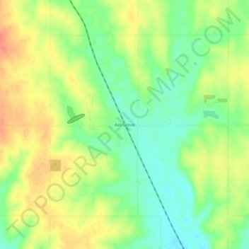
Name: Ash Grove topographic map, elevation, terrain.
Location: Ash Grove, Lincoln County, Kansas, United States (39.14140 -98.38200 39.18140 -98.34200)
Average elevation: 468 m
Minimum elevation: 443 m
Maximum elevation: 494 m
Thank you for supporting this site ❤️
Make a donation
Make a donation
Other topographic maps
Click on a map to view its topography, its elevation and its terrain.