
Make a donation
Dingle topographic map
Click on the map to display elevation.
Make a donation
Dingle
Dingle's St. Mary's is a neo-Gothic church built to designs by J. J. McCarthy and O'Connell. The foundation stone was laid in 1862. It originally had a nave and aisles separated by arcades, supported on columns capped by octagonal tops. The arcades were demolished in one of the most radical reordering schemes to have been executed in Ireland. The project also saw the demolition of the exterior walls to below the original clerestory level, and, most notably, of the attic and upper ranges of the west elevation.
Make a donation
About this map
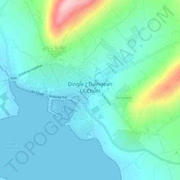
Name: Dingle topographic map, elevation, terrain.
Location: Dingle, County Kerry, Munster, Ireland (52.13074 -10.29854 52.15002 -10.25466)
Average elevation: 41 m
Minimum elevation: -1 m
Maximum elevation: 206 m
Make a donation
Other topographic maps
Click on a map to view its topography, its elevation and its terrain.
Make a donation
Make a donation
Make a donation