
Thank you for supporting this site ❤️
Make a donation
Make a donation
Canoas topographic map
Click on the map to display elevation.
Thank you for supporting this site ❤️
Make a donation
Make a donation
About this map
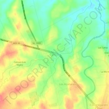
Name: Canoas topographic map, elevation, terrain.
Location: Canoas, Montemorelos, Nuevo León, México (25.22456 -99.97338 25.26456 -99.93338)
Average elevation: 435 m
Minimum elevation: 403 m
Maximum elevation: 470 m
Thank you for supporting this site ❤️
Make a donation
Make a donation