
Asi-ri topographic map
Interactive map
Click on the map to display elevation.
About this map
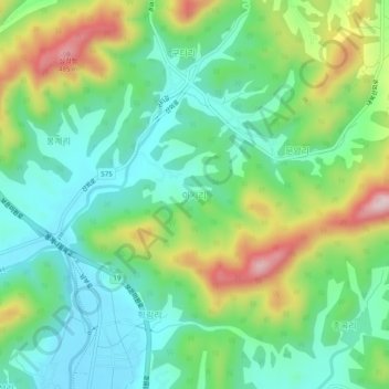
Name: Asi-ri topographic map, elevation, terrain.
Location: Asi-ri, Boeun-gun, North Chungcheong, 28903, South Korea (36.52047 127.71427 36.56047 127.75427)
Average elevation: 269 m
Minimum elevation: 162 m
Maximum elevation: 490 m